Click image to enlarge
|
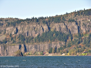
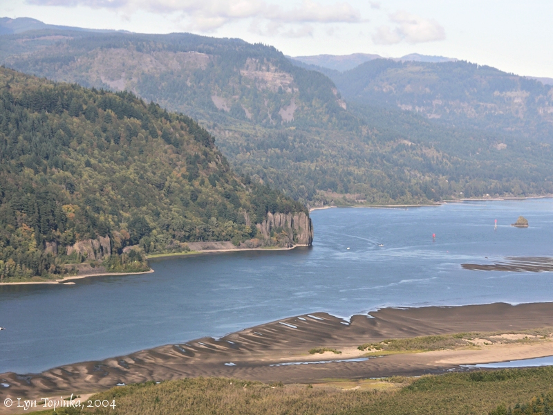
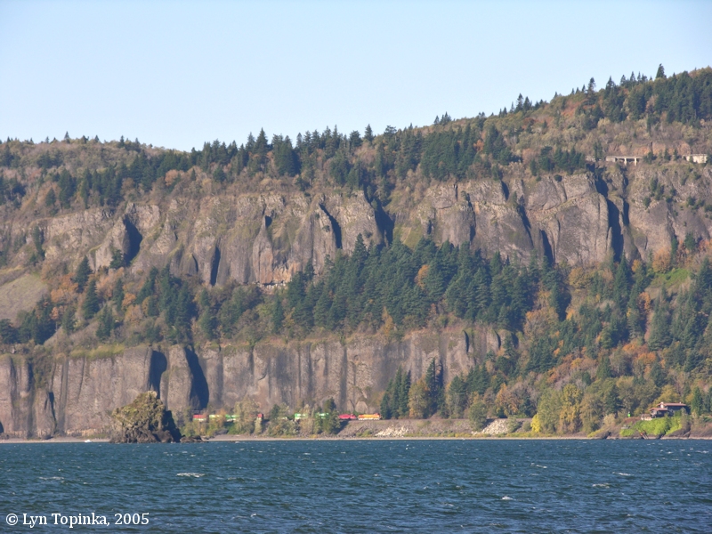
Cape Horn, Washington.
Cape Horn as seen from Dalton Point, Oregon.
Phoca Rock is near the base of the cliff.
Image taken October 22, 2005.
|
"... S. 47° W. 12 miles to a Stard. point of rocks of a high clift of black
rocks ..."
[Clark, November 2, 1805, first draft]
|
|
Cape Horn ...
Early Cape Horn ...
|
Lewis and Clark passed by Cape Horn on November 2, 1805.
-
"... S. 47° W. 12 miles to a Stard. point of rocks of a high clift of black
rocks ..."
[Clark, November 2, 1805, first draft]
Early travelers and settlers also called Cape Horn, "Gibralter" with sections being called "The Needles". This was not the first Cape Horn on the Columbia and it is also not the only Cape Horn on the Columbia.
|
Cape Horns of the Columbia River ...
Throughout history there have been five different features named "Cape Horn" located along the Columbia River.
[More]
|
Cape Horn Geology ...
|
Cape Horn is a formation of Grande Ronde basalt flows (Columbia River Basalt) which are capped by Troutdale gravels, which in turn are overlain by the lavas of the small Biddle Butte (Mount Zion) olivine basalt shield volcano.
|
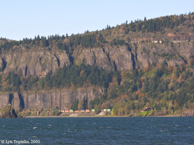
Click image to enlarge
|
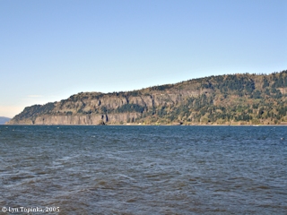
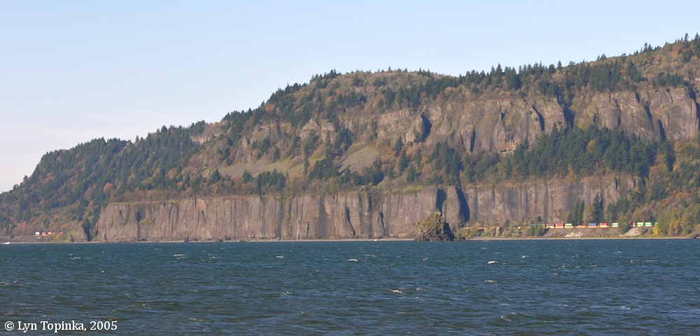
Cape Horn, Washington.
Cape Horn as seen from Dalton Point, Oregon.
Phoca Rock is near the base of the cliff.
Image taken October 22, 2005.
|
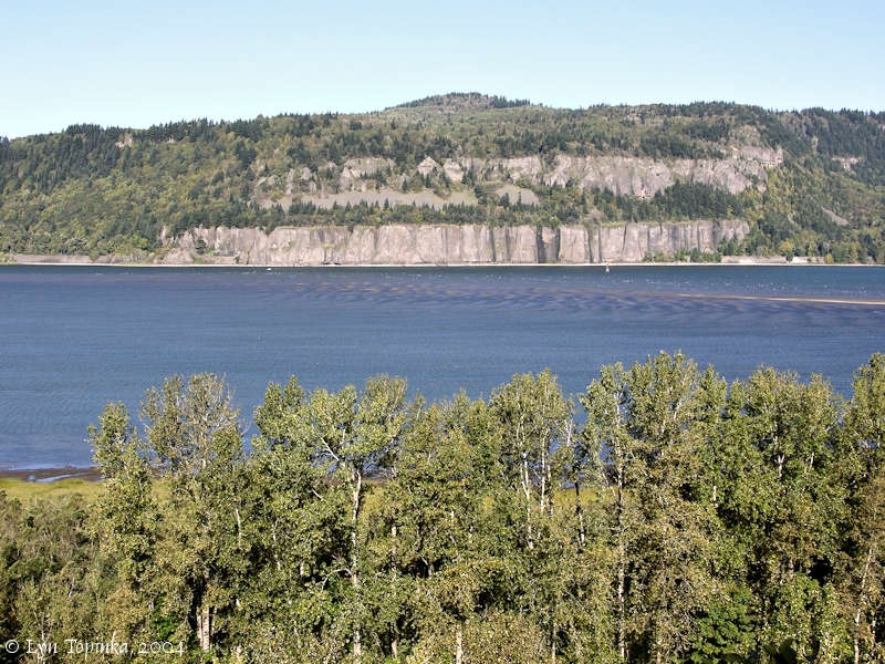
Click image to enlarge
|
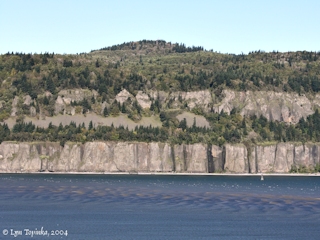
Cape Horn, Washington.
Cape Horn as seen from Bridal Veil, Oregon.
Image taken October 11, 2004.
|
Cape Horn in 1895 ...
Andrew Jenson wrote about Washington's Cape Horn in 1895, for Utah's Deseret News. (The Deseret News was the first newspaper published in the Utah Territory, just three years after the Mormon pioneers settled the Great Salt Lake valley, with the first issue being June 15, 1850.)
|
"... As we proceed to the lower end of the gorge through which the Columbia
passes through the Cascade mountains, we notice across the river, in the
state Washington, the so-called Cape Horn, also called Gibralter. This is
a strange handiwork of nature, composed of solid rock of apparent bark
formation, rising abruptly from the water's edge, and so peculiarly
erected on a base of perpendicular square rocks, as to have the appearance
of piling. These rocks are at the upper portion surrounded by cone-shaped
pillars known as the Needles.
Cape Horn rises to a height of from 500 to 2,500 feet, and In one of those
peculiar formations, at which the sight seer can only express wonder. ..."
[Jenson, May 13, 1895]
Source:
"Jenson's Travels", written by Andrew Jenson, Portland, Oregon, May 13, 1895, and appearing in the Deseret News (Utah), June 1, 1895, courtesy Harold B. Lee Library online archives, Brigham Young University.
|
|
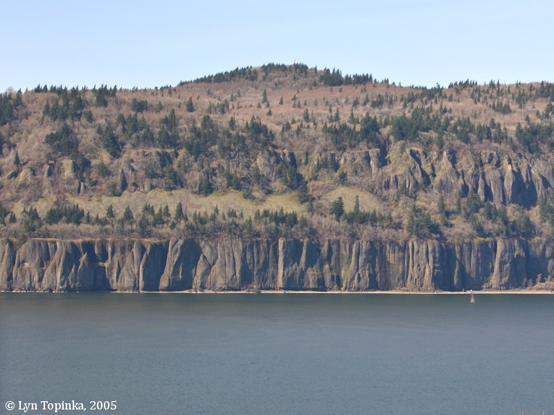
Click image to enlarge
|
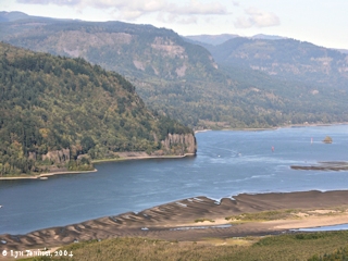
Cape Horn, Washington, as seen from Crown Point, Oregon.
Phoca Rock is just visible on the right.
Image taken October 10, 2004.
|
- Cape Horn Basalts ...
- Cape Horn Landing ...
- Cape Horn Mountain ...
- Cape Horn Railroad Tunnel ...
- Cape Horn Trail and the Nancy Russell Overlook ...
- Cape Horn Winery ...
- Washington State Highway 14 ...
- Winter Waterfalls ...
- Views from Cape Horn ...
|
Cape Horn Basalts ...
Click image to enlarge
|
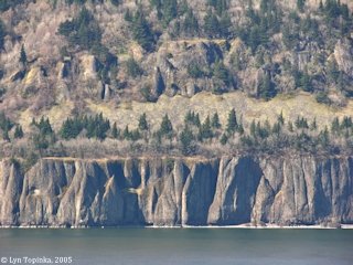
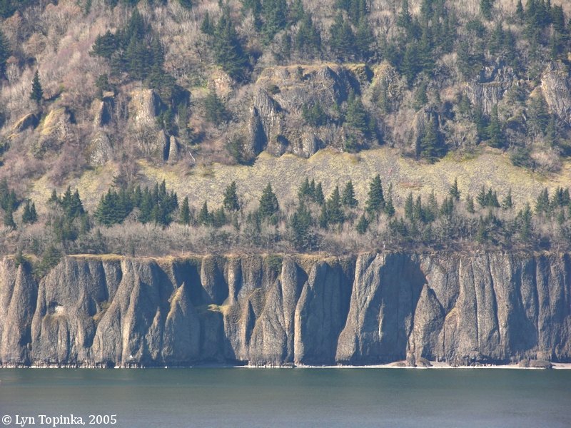
Basalts, Cape Horn, Washington.
Cape Horn as seen from Bridal Veil, Oregon.
Image taken March 6, 2005.
|
Click image to enlarge
|
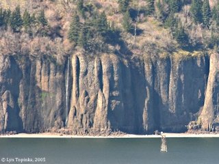
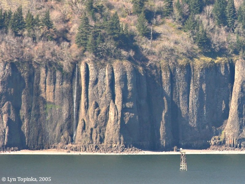
Basalts and waterfall, Cape Horn, Washington.
Cape Horn as seen from Bridal Veil, Oregon.
Image taken March 6, 2005.
|
Click image to enlarge
|
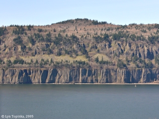
Cape Horn, Washington, as seen from Bridal Veil, Oregon.
Biddle Butte rises above Cape Horn. Lava flows from Biddle Butte cap the basalts of Cape Horn.
Image taken March 6, 2005.
|
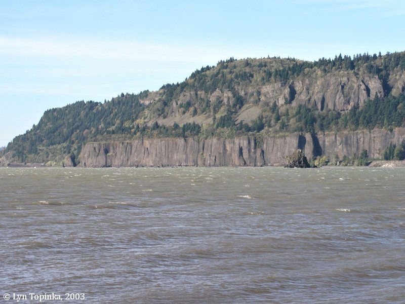
Click image to enlarge
|
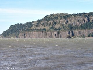
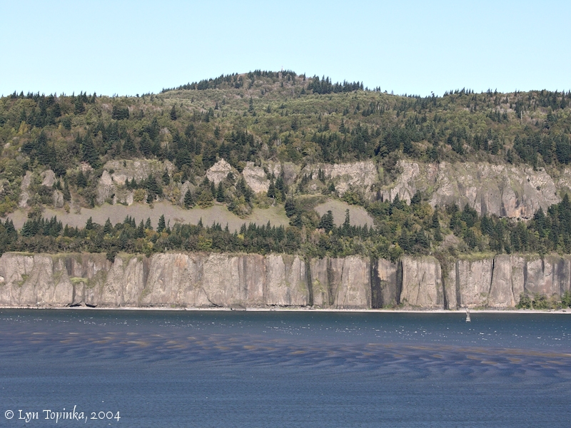
Cape Horn, Washington.
Cape Horn as seen from Dalton Point, Oregon.
Image taken October 25, 2003.
|
Cape Horn Landing ...
Cape Horn Landing is located on the Washington side of the Columbia River at River Mile (RM) 132, just upstream of the massive basalt cliffs known as Cape Horn. Good views can be had from across the river at the Bridal Veil Overlook.
[More]
|
Click image to enlarge
|
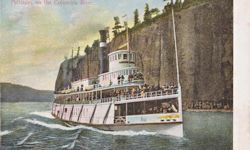
Penny Postcard: Steamer "Bailey Gatzert" at Cape Horn, Washington.
Penny Postcard, Divided Back (1907-1915), "Palisades on the Columbia River.".
Published by The J.K. Gill Co., Portland, Ore.
Made in Germany.
Card No.3952.
In the private collection of Lyn Topinka.
|
Click image to enlarge
|
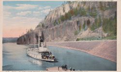
Penny Postcard: Steamer "Dallas City", Cape Horn Landing, Washington.
Penny Postcard, Divided Back (1907-1915), "Passing Cape Horn, Columbia River. "Dallas City", one of the Many Passenger Steamers Out of Portland.".
Chas S. Lipschuetz Company, Portland, Oregon.
American Art Post Card.
Card #248.
In the private collection of Lyn Topinka.
|
Click image to enlarge
|
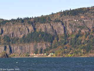
Train leaving Cape Horn Tunnel and approaching Cape Horn Landing.
View from Bridal Veil Overlook.
Image taken October 22, 2005.
|
Cape Horn Mountain ...
Rising above Cape Horn is Biddle Butte (also known as "Mount Zion"), a small volcanic cone. In the 1860s Biddle Butte was known as "Cape Horn Mountain". Lava flows from Biddle Butte cap the basalts of Cape Horn.
[More]
|
Click image to enlarge
|
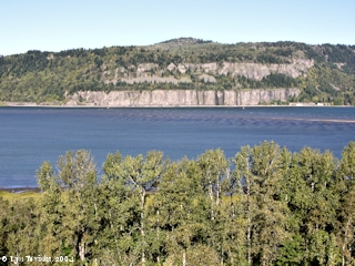
Cape Horn, Washington, with Biddle Butte.
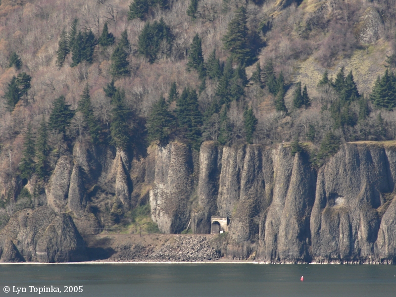
Biddle Butte (also known as "Mount Zion", and earlier as "Cape Horn Mountain") rises above Cape Horn. The west portal of the Cape Horn Railroad Tunnel is visible on the left side of the massive Cape Horn basalt flow. The east portal is hidden in this view behind the left edge of the trees at the Columbia shore.
View from Bridal Veil, Oregon.
Image taken October 11, 2004.
|
Cape Horn Railroad Tunnel ...
The Cape Horn Railroad Tunnel No.1, at 2,382 feet, is the longest of
eleven tunnels built along the north side of the Columbia River for the Spokane, Portland & Seattle Railway.
The tunnel cuts through the massive basalt flow of Cape Horn.
[More]
|
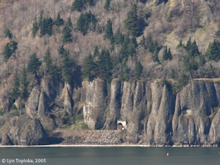
Click image to enlarge
|
West Portal, Railroad Tunnel No.1 at Cape Horn.
View from Bridal Veil, Oregon.
Image taken March 6, 2005.
|
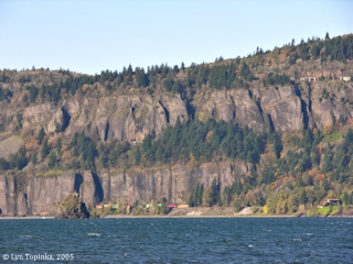
Click image to enlarge
|
Cape Horn Railroad Tunnel east portal, with train in tunnel.
View from Dalton Point, Oregon.
Image taken October 22, 2005.
|
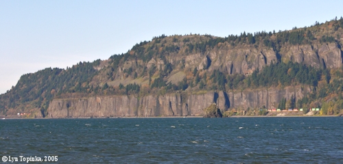
Click image to enlarge
|
Cape Horn Railroad Tunnel, with train in tunnel, from Dalton Point, Oregon.
Note back end of train on the left and front end of train on the right !!! The Cape Horn Tunnel is 2,382 feet long.
Image taken October 22, 2005.
|
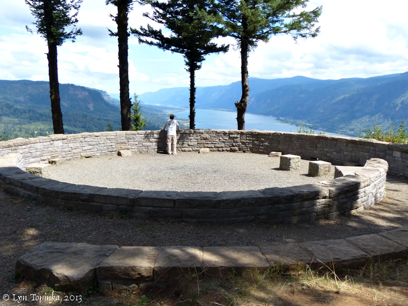
Cape Horn Trail and the Nancy Russell Overlook ...
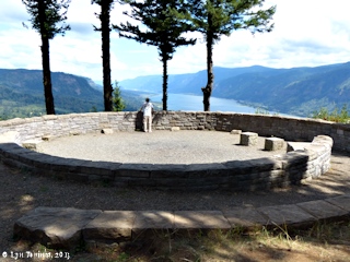
Click image to enlarge
|
Nancy Russell Overlook, Cape Horn Trail, Cape Horn, Washington.
Image taken August 24, 2013.
|
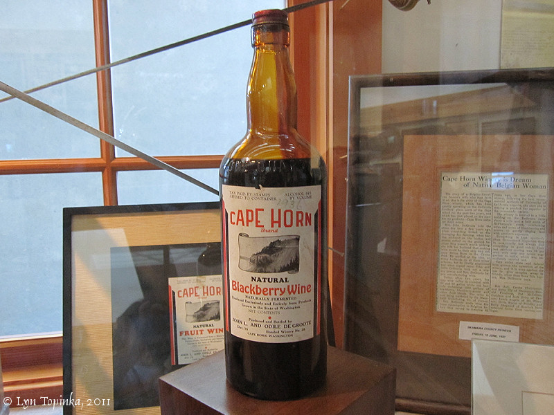
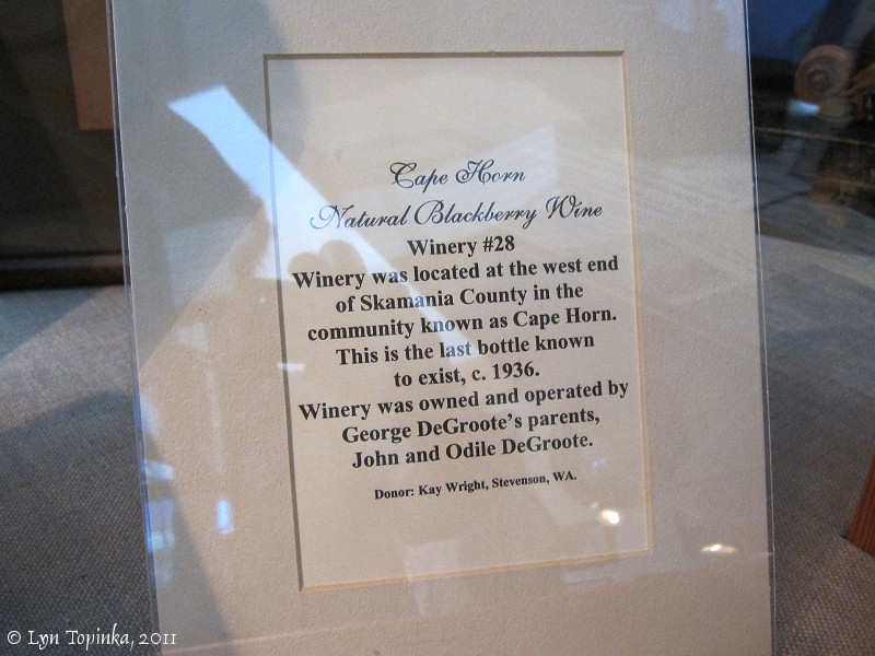
Cape Horn Winery ...
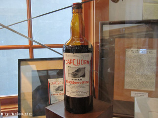
Click image to enlarge
|
Bottle, Blackberry Wine, Cape Horn Winery exhibit.
Columbia Gorge Interpretive Center, Stevenson, Washington.
Image taken July 15, 2011.
|
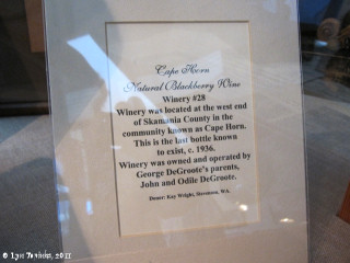
Click image to enlarge
|
Information sign, Cape Horn Winery exhibit.
Columbia Gorge Interpretive Center, Stevenson, Washington.
Image taken July 15, 2011.
|
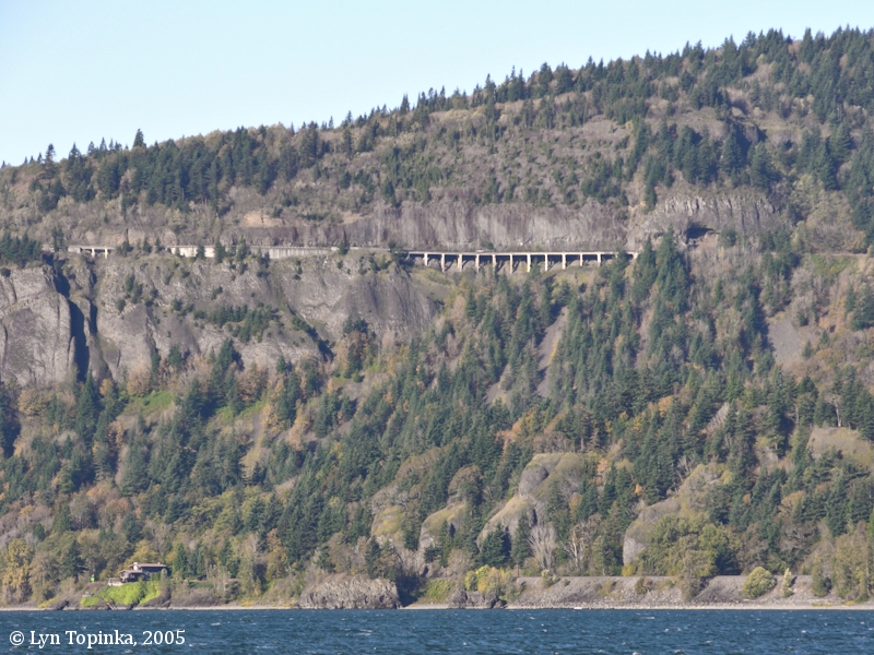
Washington State Highway 14 ...
The Washington State Highway 14 Bridge across Cape Horn was built in the late 1920s and opened for traffic on December 16, 1930. Originally a metal roof was built over the bridge to keep rocks off the motorists, however this only worked for small debris. Larger rocks falling from higher up simply punched a hole through the roof. In the 1960s this "shed" roof was replaced with chain fencing on the cliff's sides.
[More]
|
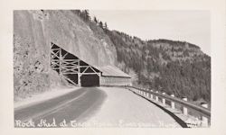
Click image to enlarge
|
Penny Postcard: Rock shed at Cape Horn, Evergreen Highway (now Highway 14), Washington.
Penny Postcard, Real Photo, "Rock Shed at Cape Horn, Evergreen Highway".
Postmarked April 1947.
Christian.
Card W-755.
In the private collection of Lyn Topinka.
|
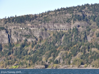
Click image to enlarge
|
Washington State Highway 14 across Cape Horn.
Cape Horn as seen from Dalton Point, Oregon.
Image taken October 22, 2005.
|
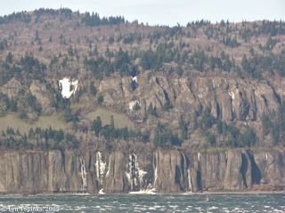
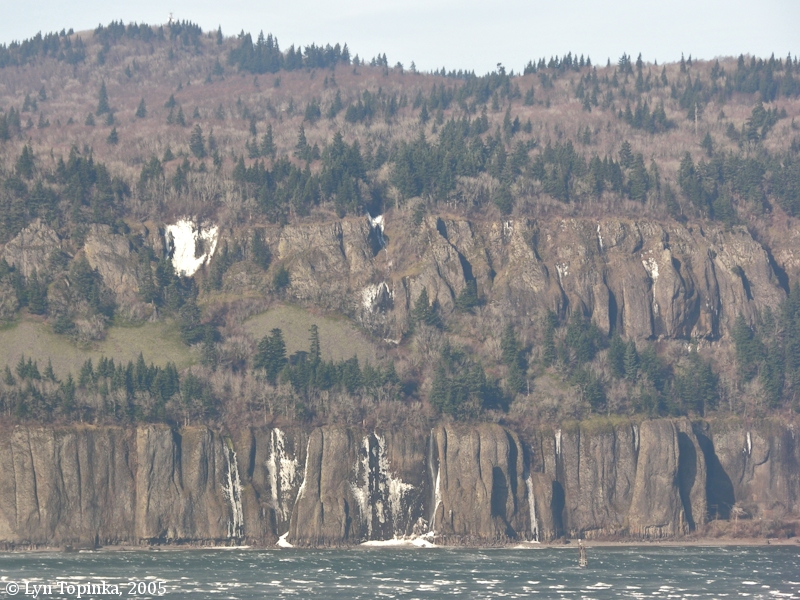
Winter Waterfalls ...
|
A cold snap and freezing weather makes for great views of
frozen waterfalls on both sides of the Columbia River Gorge, including
Cape Horn.
|
Click image to enlarge
|
Frozen waterfalls, Cape Horn, Washington.
Cape Horn as seen from Bridal Veil Overlook, Oregon.
Image taken December 10, 2005.
|
Views from Cape Horn ...
|
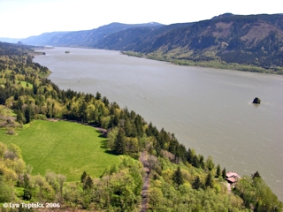
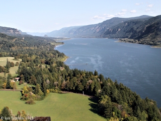
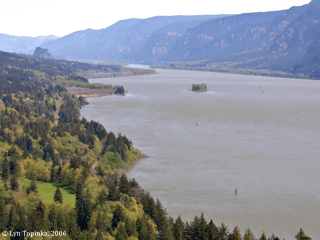
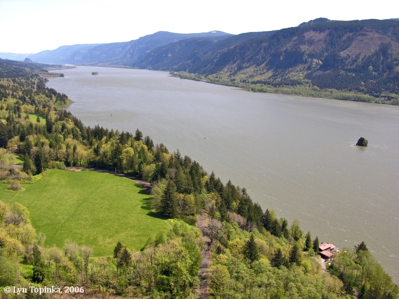
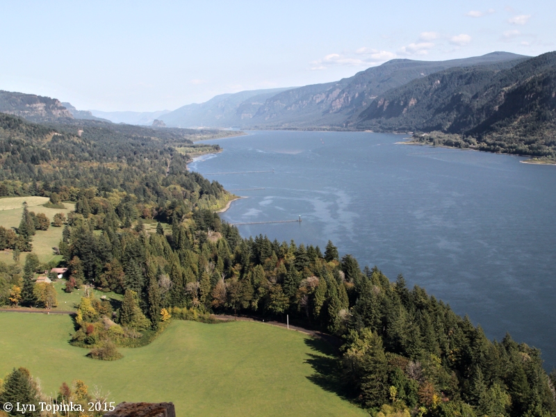
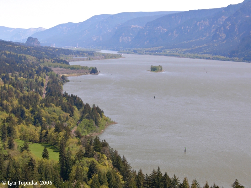
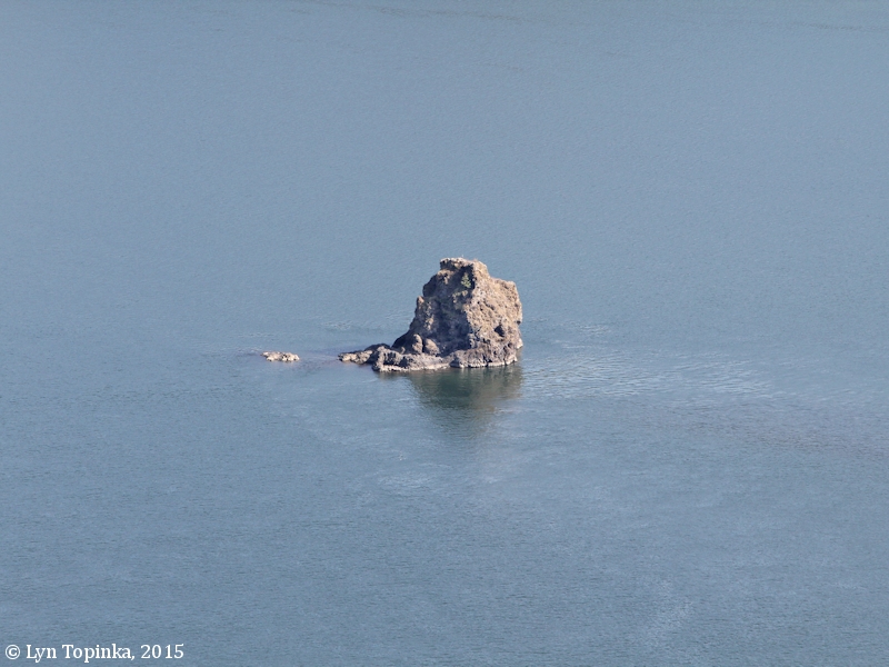
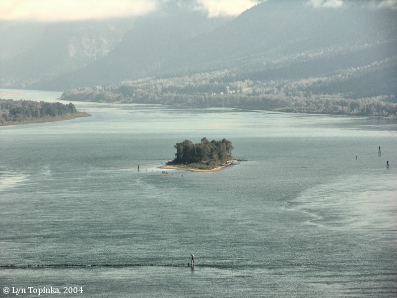
Great views of the Columbia River can be seen from the Cape Horn pullout along Washington State Highway 14, including looking upstream towards Beacon Rock and Skamania Island, and looking down on Phoca Rock, located in the middle of the Columbia. Also looking down one can see a house at the location of Cape Horn Landing, once a steamboat stop on the Columbia River.
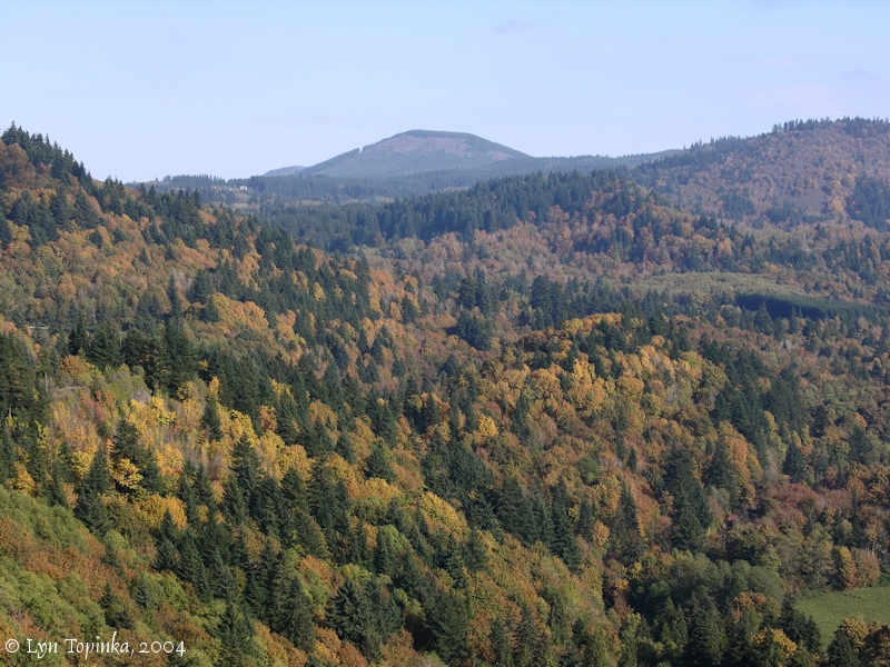
Looking inland is a view of
Bobs Mountain, a volcanic cone of the Boring Lava Field.
|
Click image to enlarge
|
Columbia River looking upstream from Cape Horn, Washington.
Beacon Rock, Skamania Island, and Phoca Rock can be seen.
Image taken April 22, 2006.
|
Click image to enlarge
|
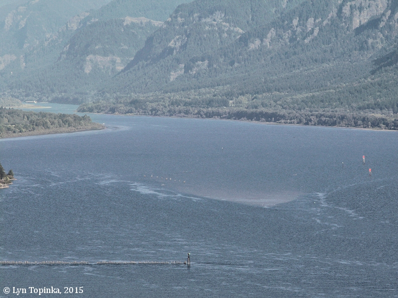
Columbia River looking upstream from Cape Horn, Washington.
Note: NO Skamania Island.
Image taken October 3, 2015.
|
Click image to enlarge
|
Beacon Rock and Skamania Island, as seen from the Cape Horn Viewpoint.
Image taken April 22, 2006.
|
Click image to enlarge
|
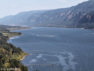
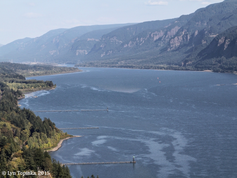
Skamania Island location, as seen from Cape Horn, Washington.
Image taken October 3, 2015.
|
Click image to enlarge
|
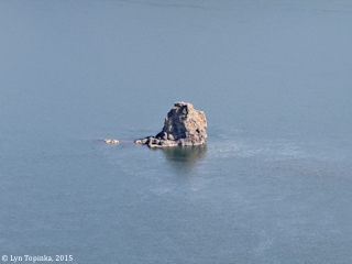
Phoca Rock, as seen from Cape Horn, Washington.
Image taken October 3, 2015.
|
Click image to enlarge
|
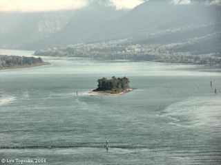
2004 ... Skamania Island as seen from the Cape Horn, Washington.
Image taken October 27, 2004.
|
Click image to enlarge
|
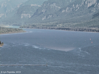
2015 ... Skamania Island location, as seen from Cape Horn, Washington.
Image taken October 3, 2015.
|
NOTE: Skamania Island has eroded away.
|
|
Click image to enlarge
|
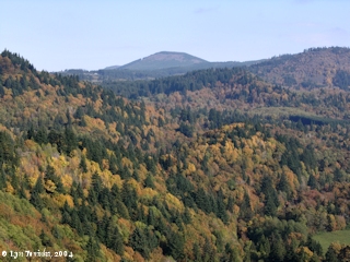
Bobs Mountain, Washington, as seen from Cape Horn, Washington.
Bobs Mountain is a volcanic cone of the Boring Lava Field.
Image taken October 27, 2004.
|
|
"The Golden Age of Postcards" ...
|
|
The early 1900s was the "Golden Age of Postcards". The "Penny Postcard" became a popular way to send greetings to friends and family. Today the Penny Postcard has become a snapshot of history.
|
|
From the Journals of Lewis and Clark ...
|
Clark, November 2, 1805, first draft ...
|
Meridian altitude 59° 45' 45" made a portage of about 1½ miles with half of the Baggage, and run the rapid with the Canoes without much damage
...
we Set out Passed 2 bad rapids one at 2 & the other at 4 mile below the Isd on Lard. [Bradford Island] and upper end of Strawberry Island [Hamilton Island] on the Stard. Side from the Creek end of last Course
S. 50° W. 5 miles to a timbered bottom on the Lard. Side, passed the
Lowr. point of Strawbery Isd. at 3 miles [Hamilton Island], a Isd Covd with
wood below on Stard. Side a remarkable high rock on Stard. [Beacon Rock]
Side about 800 feet high & 400 yds round, the Beaten Rock.
The mountains and bottoms thickly timbered with Pine
Spruce Cotton and a kind of maple Passed 2 Small wooded
Islands on Std. Side [today Ives and Pierce Island], <opsd> below the lower Island on the
Stard. Side at 4 miles an Indian village of 9 Houses. The
river wider and bottoms more extencive.
S. 47° W. 12 miles to a <Lard.> Stard. point of rocks of a high clift of black
rocks [Cape Horn, Columbia River Basalt].
passed a Stard. Point at 4 miles. here the mountains are low on each Side & thickly timbered with pine. river about 2 miles wide,
passed a rock at 10 miles in the middle of
the river
[Phoca Rock]
this rock is 100 feet high & 80 feet Diameter,
a deep bend to the Stard. Side,
...
S. 58° W. 4 miles <to a> Stard. point of a large bottom. Encamped on the
21 Lard Side river about 2 miles wid Country thickly timbered we Encamped behind a large rock [Rooster Rock] in the Lard. Bend,
a Canoe with 7 Inds. came down & Encamped with us
|
Clark, November 2, 1805 ...
|
|



 Return to